
search
Kadikoy istanbul map
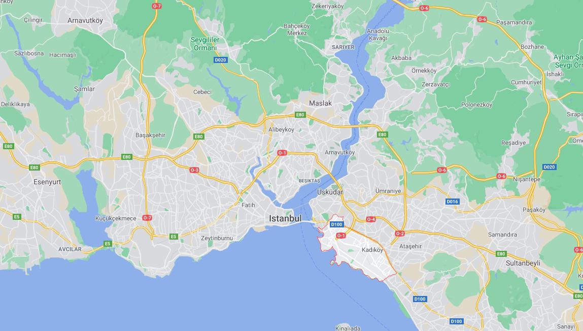
Map of kadikoy istanbul. Kadikoy istanbul map (Turkey) to print. Kadikoy istanbul map (Turkey) to download. Kadikoy is a district of Istanbul located on the Asian side of Istanbul as its shown in kadikoy istanbul map. Located along the Bosphorus, the Kadikoy district is geographically bounded by the Usküdar district to the north, the Bosphorus to the west, and the suburban districts of Istanbul to the south and east. The Kadikoy district has some major places and monuments to visit. One of the places to see during your stay in the Kadikoy district of Istanbul is the train station at Haydarpaşa.
Kadikoy is a neighborhood where you will be able to do your shopping at prices that are generally lower than in the neighborhoods on the European side, due to the small number of tourists in this area as its mentioned in kadikoy istanbul map. Moreover, you can come to the Kadikoy market which takes place every Tuesday and Thursday. It is very easy to reach the Kadikoy neighborhood by taking the ferry from Eminönü or Karaköy pier and getting off at Kadiköy pier or Haydarpaşa.