
search
Istiklal street map
Istiklal street istanbul map. Istiklal street map (Turkey) to print. Istiklal street map (Turkey) to download. Pedestrianized Istiklal Caddesi (istiklal street) is a bustling modern shopping street with a wealth of restaurants and cafés. The lower end of the street can be reached by taking the world oldest underground railway from near Galata Bridge as its shown in istiklal street map, the Tünel, constructed in 1875. There is also a quaintly old-fashioned tramway that runs along istiklal street length right up to Taksim Square at the top of the hill. From Taksim Square, busy Cumhuriyet Caddesi is lined with hotels, shops, restaurants, and high rises. On the east side of the istiklal street, just after the square, is Maçka Park, which is home to the interesting Military Museum.
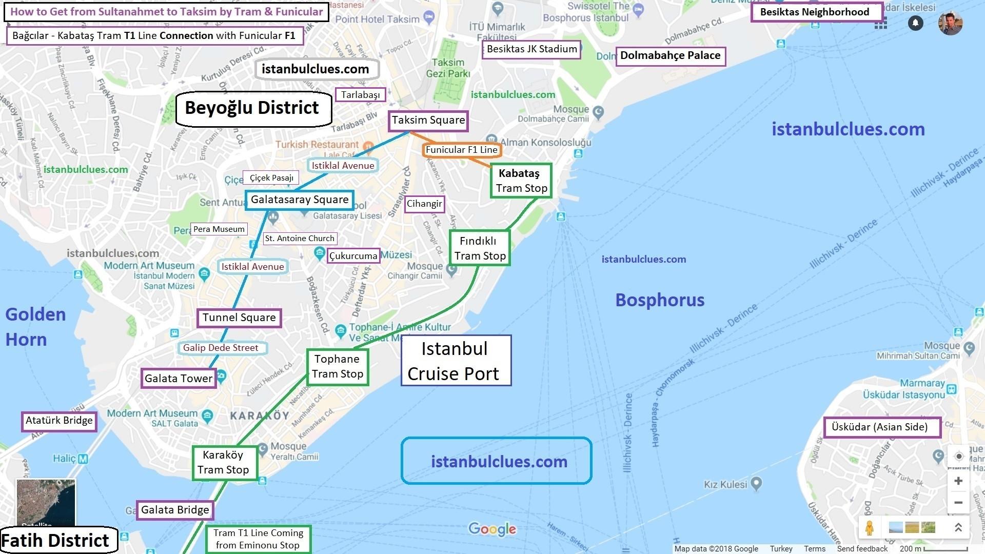
İstiklal Avenue or Istiklal Street (Turkish: İstiklâl Caddesi, French: Grande Rue de Péra, English: Independence Avenue) is one of the most famous avenues in Istanbul, Turkey, visited by nearly 3 million people in a single day over the course of weekends. Located in the historic Beyoğlu (Pera) district as its mentioned in istiklal street map, it is an elegant pedestrian street, approximately three kilometers long, which houses exquisite boutiques, music stores, bookstores, art galleries, cinemas, theaters, libraries, cafés, pubs, night clubs with live music, historical patisseries, chocolateries and restaurants. The area around istiklal street is home to many churches and old consulate buildings with ornate facades. Also nearby is Orhan Pamuk Museum of Innocence.