
search
Istanbul tunnel map
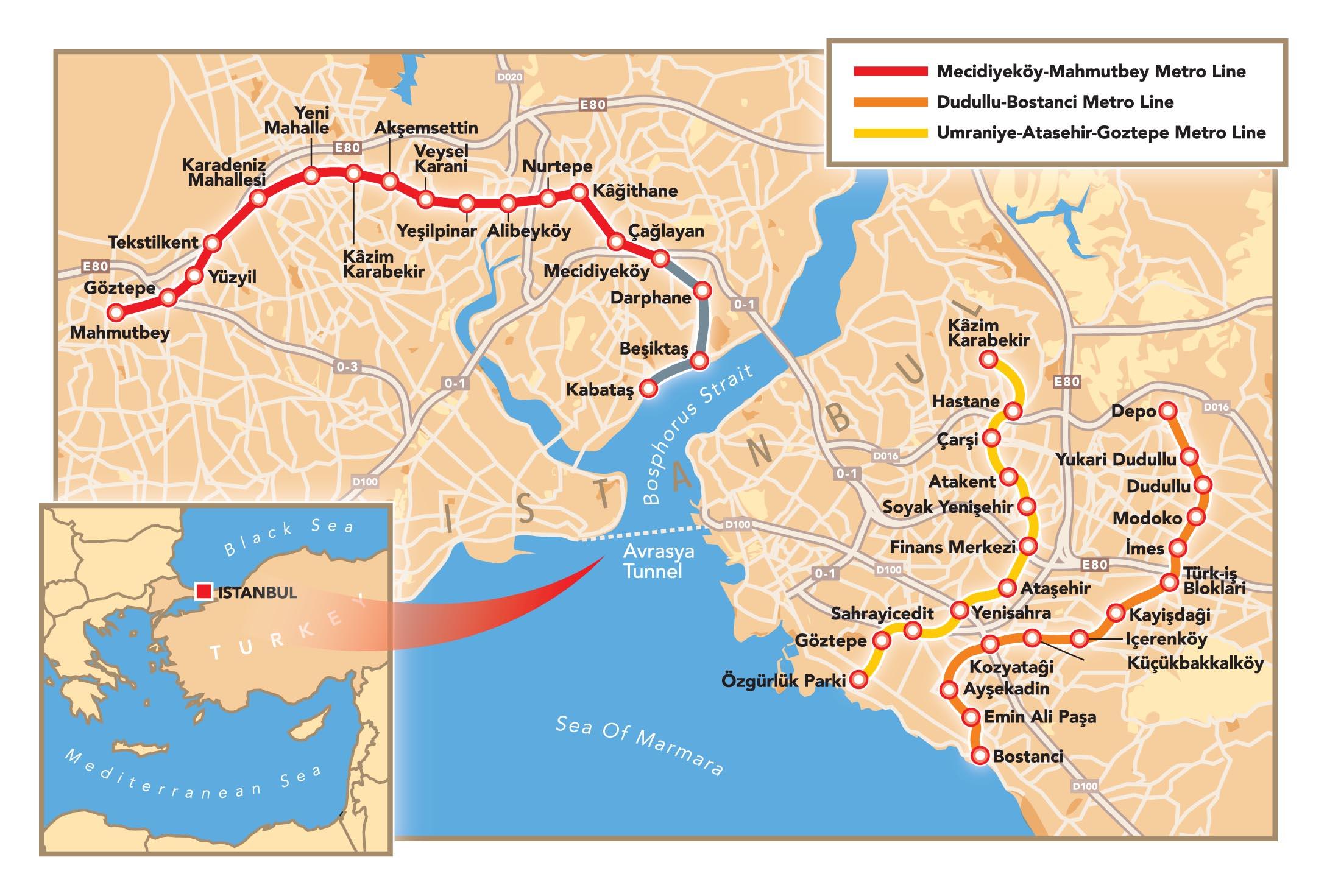
Map of istanbul tunnel. Istanbul tunnel map (Turkey) to print. Istanbul tunnel map (Turkey) to download. The Eurasia Tunnel Project of Istanbul (Istanbul Strait Road Tube Crossing Project) connects the Asian and European sides of the city via a highway tunnel crossing underneath the seafloor as its shown in istanbul tunnel map. The Eurasia Tunnel of Istanbul, between traffic-dense Kazlıçeşme and Göztepe, covers a route of 14.6 kilometers. While the 5.4-kilometer section of the Project consists of a twin-deck tunnel under the seafloor built with special technology and connection tunnels, a total of 9.2-kilometer routes on both the Asian and European sides includes road expansion and improvement works.
The Istanbul tunnel crossing and highway improvement-expansion work eases vehicle traffic in a holistic manner. Istanbul tunnel enables drivers to experience the freedom of a safe and comfortable journey while the duration of travel time on a heavily trafficked route is considerably shortened. In addition, environmental and noise pollution are reduced. With the Eurasia Tunnel, the distance has been shortened between the highly traveled, traffic-dense D100 Highway on the Asian side to Kennedy Street on the European side (see istanbul tunnel map).