search
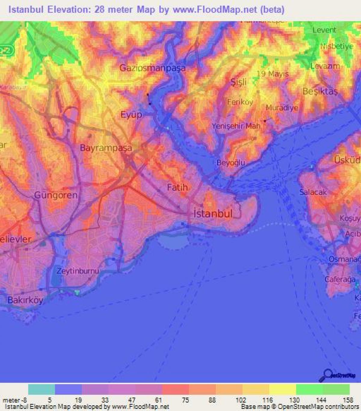
Istanbul topographic map
Map of istanbul topographic. Istanbul topographic map (Turkey) to print. Istanbul topographic map (Turkey) to download. The highest point in Istanbul is Çamlıca Hill, with an altitude of 288 meters (945 ft) as its shown in istanbul topographic map. The northern half of Istanbul has a higher mean topographic elevation compared to the south coast, with locations surpassing 200 meters (660 ft), and some coasts with steep cliffs resembling fjords, especially around the northern end of the Istanbul Bosphorus, where it opens up to the Black Sea.
The old city of Istanbul covers a topographic surface of 1.500 square kilometers, while the metropolitan region, consisting of 34 municipalities, is roughly 6.000 square kilometers in size and still growing. Istanbul is also nicknamed the City of Seven Hills, just like Rome. Istanbul is also located close to the North Anatolian fault line, making it an earthquake sensitive area as its mentioned in istanbul topographic map.


