search
Karakoy istanbul map
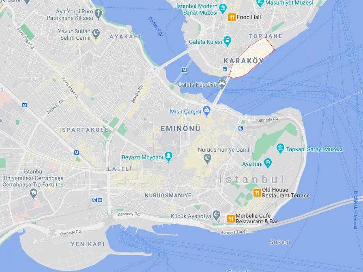
Map of karakoy istanbul. Karakoy istanbul map (Turkey) to print. Karakoy istanbul map (Turkey) to download. Karakoy istanbul, the modern name for the ancient Galata, is a commercial neighborhood in the Beyoğlu district of Istanbul, Turkey, located at the northern part of the Golden Horn mouth on the European side of Bosphorus as its shown in karakoy istanbul map. The word Karakoy is the combination of "Kara" and "köy". "Kara" probably originates in the Turkish word Karay, referring to a Turkic-speaking Jewish community called the Crimean Karaites. At one time, Karaites were a majority of the people who lived in this district. "Köy" means village.
Karakoy is one of the oldest and most historic districts of Istanbul, and is today an important commercial center and transport hub. The location of karakoy in istanbul is connected with the surrounding neighborhoods through streets originating from Karaköy Square as you can see in karakoy istanbul map. The Galata Bridge links Karakoy to Eminönü in the southwest, Tersane Street to Azapkapı in the west, Voyvoda Street to Şişhane in the northwest, the steeply sloping Yüksek Kaldırım Street to Beyoğlu in the north, Kemeraltı Street and Necatibey Street to Tophane in the northeast. The commercial quarter in karakoy, which was originally the meeting place for banks and insurance companies in the 19th century, is today also home to mechanical, electrical, plumbing and electronic parts suppliers.


